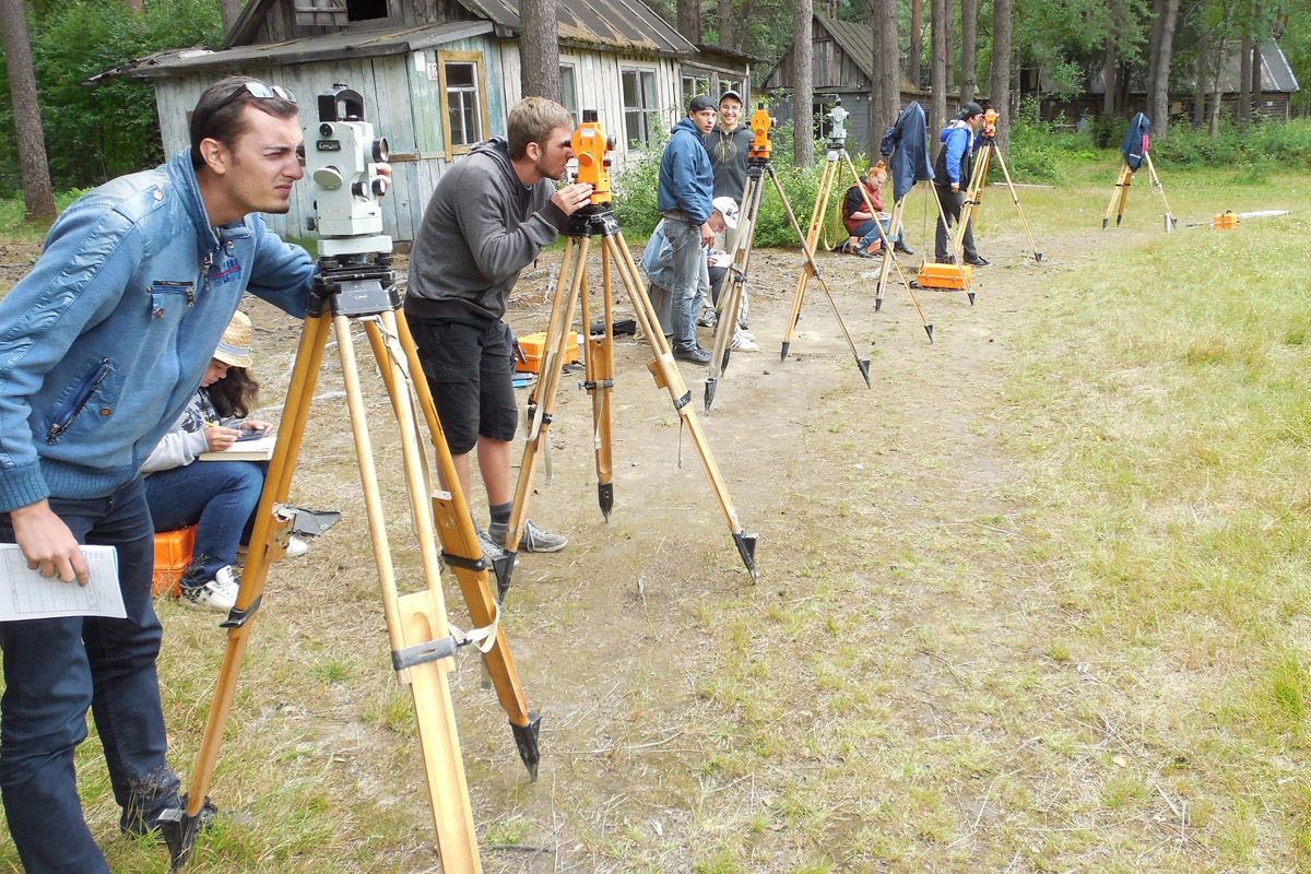
In the process of training in this specialization, students learn the basics of geodesy, the theory of mathematical processing of geodesic measurements, geodesic astronomy, higher geodesy, topography, cartography, photogrammetry, applied geodesy, engineering and geodesic surveys, space geodesy and geodynamics, satellite systems and positioning technologies, satellite geodesy, geodetic measurements systems and technologies, automated methods of engineering and geodetic works, as well as modern problems of leveling a geodesic networks.
High demand for specialists of this qualification in the field of cadastre and geodesic works thanks to their professional skills in topographic and geodetic works with the use of modern technical means and technologies;
High demand in the sphere of construction works from the moment of determining the building plot to the very commissioning of the object;
The knowledge gained in the process of learning allows specialists to work with project and regulatory documentation in the field of land management, urban planning and planning of populated areas;
Opportunity to engage in scientific activities during training on the basis of the St. Petersburg Mining University;
Possibility of inclusive education in foreign partner universities with the issuance of diplomas of international standard.
Graduates of this specialization can work in the positions of geodetic engineers at large construction companies, such as Avtodor St. Petersburg OJSC, CDS GC LLC, etc. They can be leading engineers at enterprises in the field of complex engineering surveys, in topographic and geodesic departments of scientific and production enterprises, such as Bent, Guild of Surveyors, etc. They can also be leading surveyors and cadastral engineers in geodesic and cadastral companies, such as LenOblCadastre, Industrial Geodesy, Morion GC, etc. Graduates work as leading specialists in state authority bodies in the field of registration, cadastre and construction, e.g., Rosreestr, Rostekhnadzor.